INCA TRAIL MAP
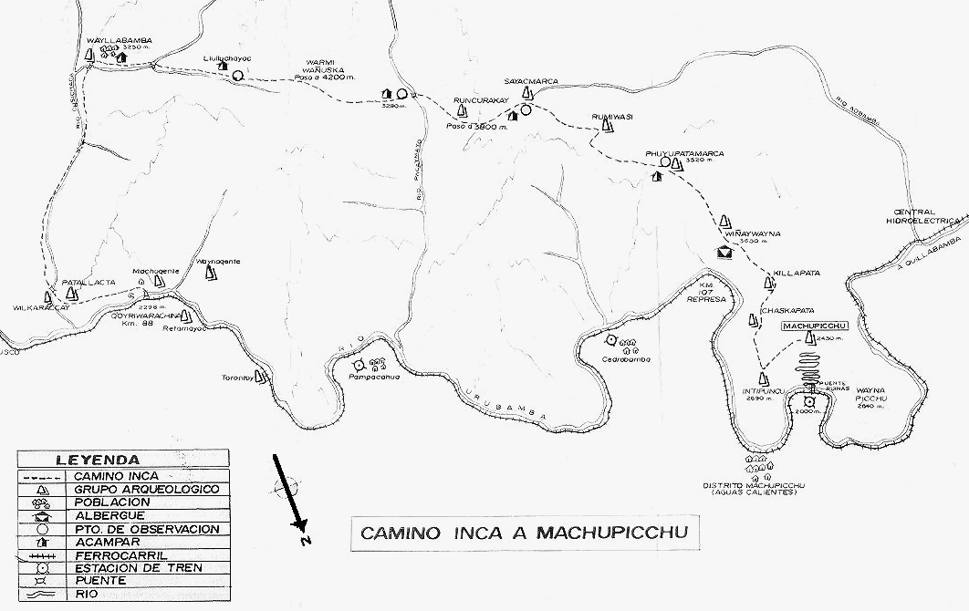
The railroad from Cusco to Agua Calientes is the prominent feature on bottom of the map, paralleling the Urubamba River. The Inca Trail is the dashed line across the top of the map, beginning on the lower left part of the map and ending at Machu Picchu, on the lower right part of the map.
Note that North is on bottom of page.
CLICK THE "BACK" BUTTON ON YOUR BROWSER